This article is an excerpt from NauticEd’s Bareboat Charter Course, a comprehensive online course that equips you with all the necessary skills and knowledge to successfully charter a yacht. The Bareboat Charter course is part of the Bareboat Charter Master bundle of online courses, fully preparing you for near-coastal sailing and sailing charters.
You can learn to sail and improve your sailing with NauticEd, the international leader in sailing education.
Tips on Navigating the Hazards of Bora Bora
What the Cruising Guides Don’t Tell You
By Bill Ibsen – NauticEd American National Standards Captain Rank Instructor
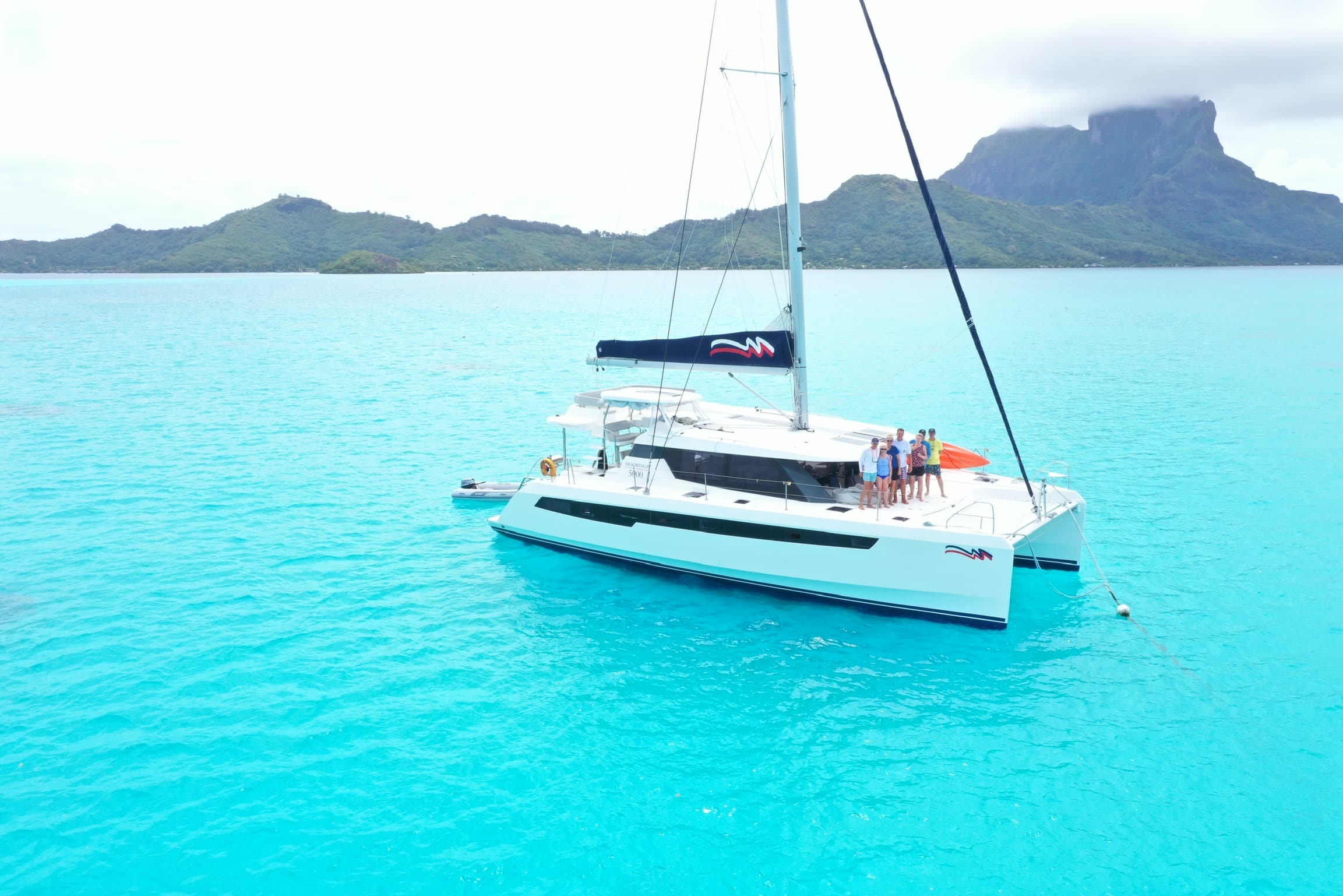
In spite of the heaviness of jet lag from flying from Atlanta to Tahiti to the island of Raiatea, the location of The Moorings French Polynesian charter base, I’m suddenly giddy about realizing my dream to sail the South Pacific. Upon arriving at the marina, I decide to take a walk-about to take in the wonder and beauty of the other yachts while wistfully whistling “Bali-Hai ” just to add to the enchantment. A pristine Moorings 4200 catamaran named Kairos just docked minutes before, and I noticed the family on it busily scurrying about.
“What a delightful yacht name, kairos, I mused…the Greek word for time, which measures moments, not seconds, in contrast to the other recognizable Greek word for time, chronos, which represents clock time. Sailing is indeed all about experiencing kairos moments.”
My rumination was interrupted by a frantic charterer wearing only a snorkel mask who erratically sprinted past me. He then dove straight into the marina towards Kairos. “Who, besides charter company divers, swim in nasty marina water, thought I? And why with such vigor and haste?”
Hours later, I discovered from Moorings staff that the masked man had a definite purpose in diving into the marina. He had accidentally ripped the starboard keel off his chartered Moorings 4200. Upon discovering this unpleasant reality from his own frantic underwater inspection, he then immediately fled the marina with his family like criminals – offering nary a word to the Moorings staff, leaving them to deal with his amputated yacht. I was calmly told by the staff that this wasn’t the first time that such a horrific dismemberment had been inflicted by one of their charterers. This experience should have been my first clue to the challenges I was about to face.
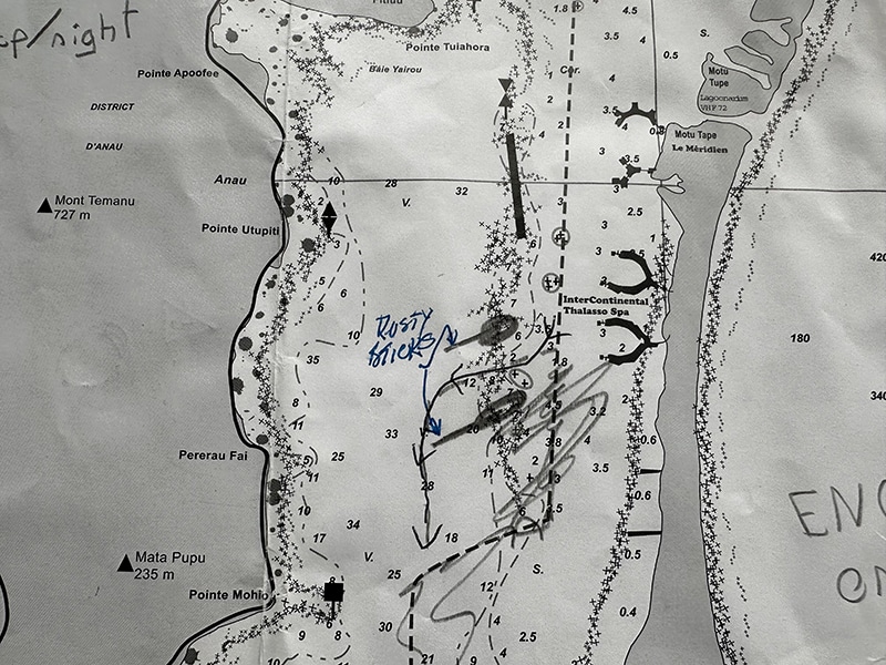
Later that afternoon our crew had the chart briefing. After nearly three arduous hours of pouring over critical extensive details of custom-printed individual charts for each of the four islands on our itinerary hand-marked by our Chart Briefer. I slowly began to be clued into the almost omnipresent navigational hazards around these breathtaking islands. “Anchor here, but not if there’s increasing fetch and the southern swells”… “Watch out for the coral heads, well – almost everywhere, really”…”The water depth is 200 feet in the lagoon but drops to 5 feet or less almost immediately over here, so anchor as close as possible to the shelf – unless an easterly wind is present, in which case, forget this anchorage because you might run aground in the shallows…” “You can swim with sharks and stingrays over here…but the Manta Ray feeding station is over there, however, there’s no dinghy tie off so you’ll just have to hold station with your cat and drop the snorkelers…” “When snorkeling over there to see the Eagle Rays, just hold on to your dinghy painter and drift with your dinghy in the 2-3 knots of current for about a mile…but be careful not to get the motor caught on the coral heads, many of which are just inches below the waterline.” “Oh, and we will send a diver to inspect your hull when you return it to the marina. We do that on every returning charter.”
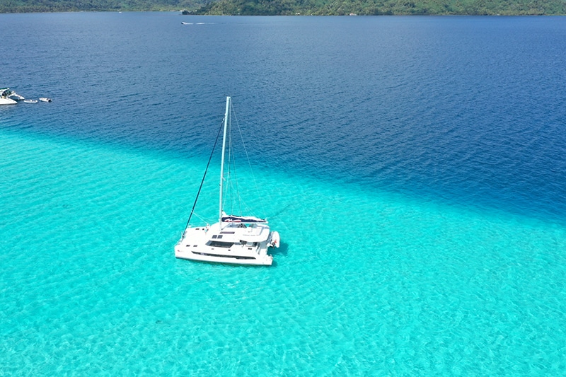
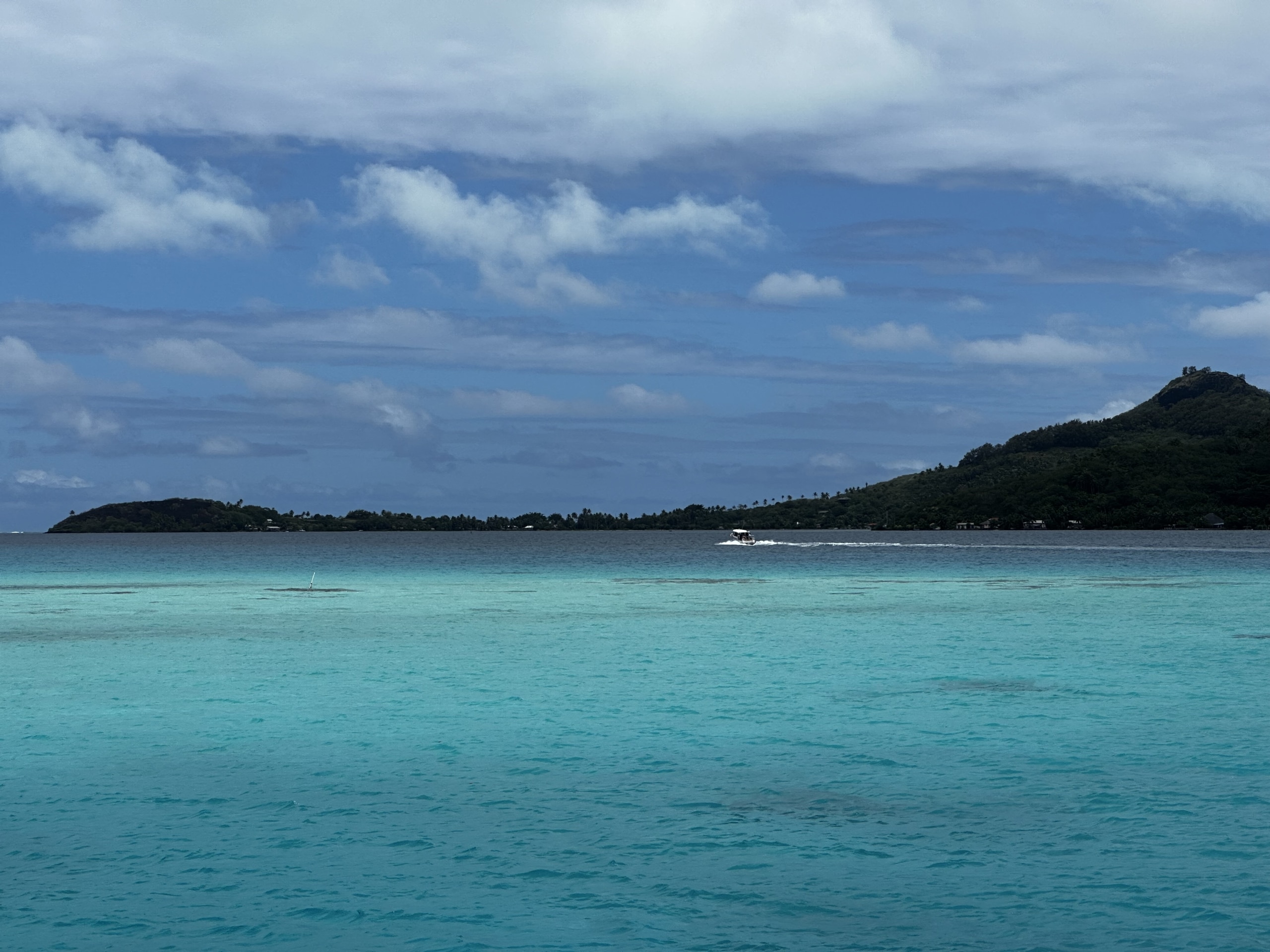
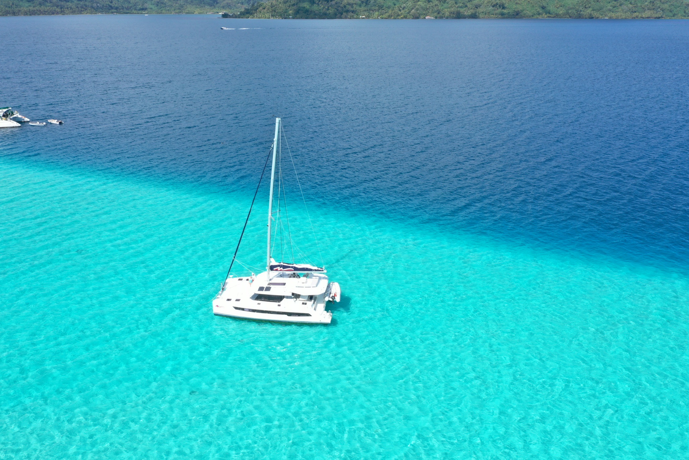
The light water color is about 10 feet (3m) while the dark is about 80 ft (25m).
Constant diligence is required to be aware of these shelves.
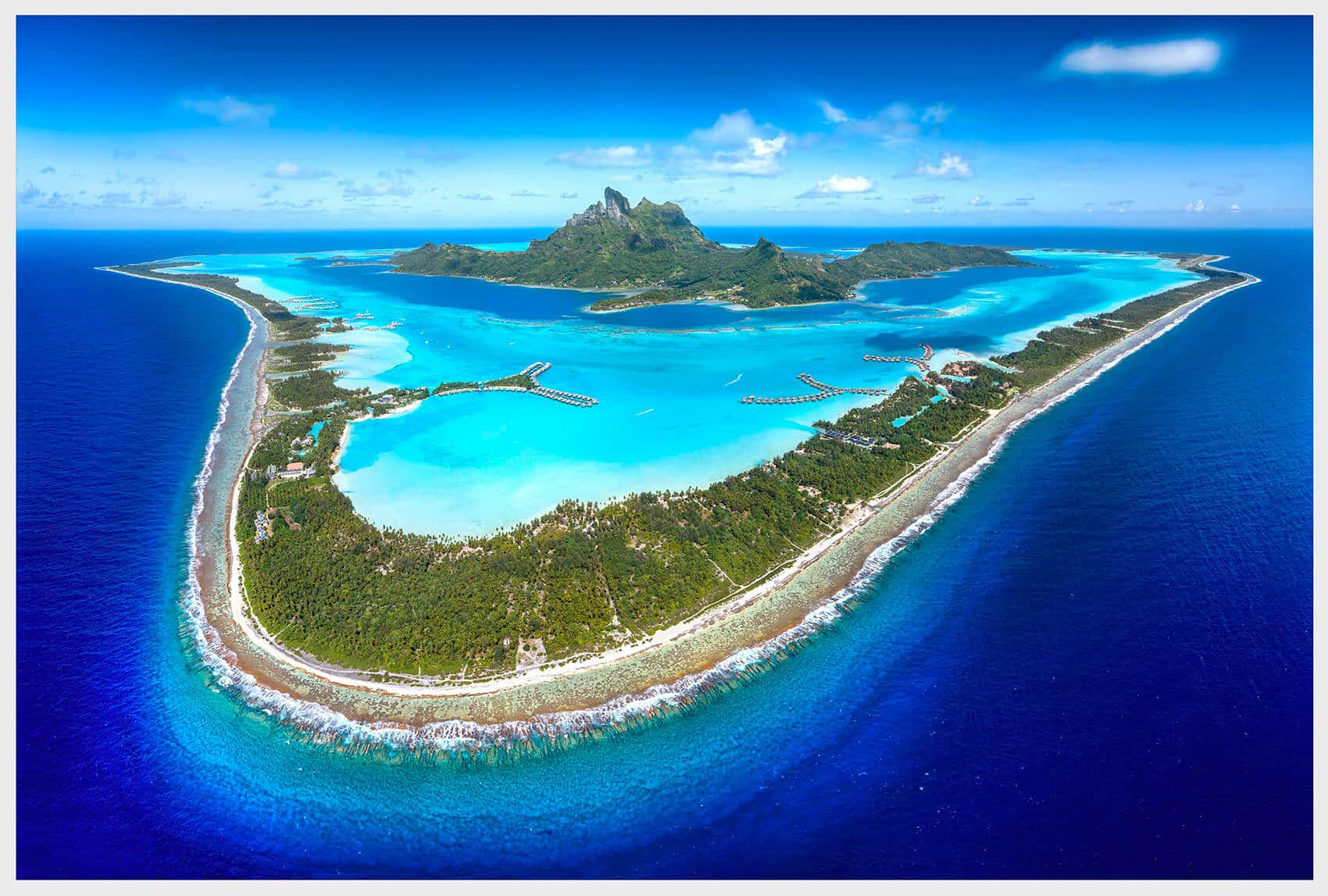
French Polynesia, a collection of islands and atolls in the South Pacific Ocean, consists of over 100 islands spread across five main archipelagos, the most famous of which is Îles de la Société (Society Islands), which include Tahiti, Raiatea, and Bora Bora, and a few other islands. The mountainous, lush, central land portions of the Society Islands are ancient collapsed, partially sunken volcanoes bordered by coral reefs. In the sunken portions, lagoons have formed, encircling the central land masses, but are themselves encompassed by a coral reef border. Water depth outside Bora Bora can exceed 10,000 feet just 11 nm from the island, while lagoon water depth ranges between mere inches to 200 feet deep. It is this dramatic water depth variation that creates arguably the most spectacular shades of blue than anywhere else in the world.
These subsiding volcanic islands create ideal conditions for prolific coral growth. The islands’ surrounding lagoons and barrier reefs teem with a diverse array of coral species which provide habitats for a vast and extraordinarily colorful array of marine life. There are literally millions of coral heads to snorkel and enjoy, but also to potentially hit in a sailboat – and rip off a keel.
In Bora Bora, there is only one way in and out of the island, Passe Teavanui, where the powerful ocean has breached the coral wall. When the swells are high, it is perversely entertaining to watch from the comfort of the calm lagoon the shorter 38-42’ cats traverse through the pass. With huge following waves astern, these boats almost disappear, and then look like they are traveling backwards due to the pull of the waves, prone to get pooped on by those same waves. But somehow, they make it through unharmed, and are relieved to be cradled in the comforting, calm arms of Bora Bora’s stunning tropical blue lagoon.
Motoring through Passe Teavanui finds the Bora Bora Yacht Club and anchorage just a nautical mile ahead. If you, like me, have dreamed of going to the Bora Bora Yacht Club, allow me to adjust your expectations by saying that it is no BVI Bitter End Yacht Club. While astonishingly expensive, it is much smaller and far more modest than what many sailors are used to in the BVI. Nevertheless, the island boasts an abundance of elements not found in the BVI.
But back to the navigation tips…don’t waste your money on Charlie’s Charts – A Cruising Guide for Mariners, Polynesia. This was the only French Polynesia cruising guide I could find online. With its skinny introduction and hand-sketched maps, it is dated to the point of near obsolescence. You’ll get far better and helpful information from your chart briefing. And the better the notes you make on the chart, the safer and happier you’ll likely be. Bring extra paper, because the chart briefing details are extensive and easy to confuse between one island and another.
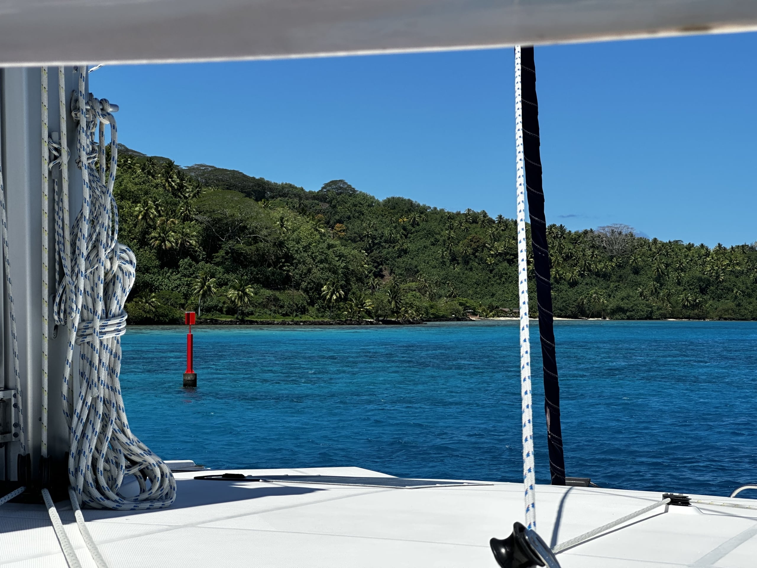
The entire southern end of Bora Bora’s lagoon is unnavigable to sailboats due to its shallow waters, although much of it can be traversed by dinghy. This means that for incoming sailboats to visit the picturesque eastern side lagoon, they must loop north around the top of the island. The most important point to remember when navigating this island, and many like it in this IALA-A system, is to keep the red cans landward, and the green nuns seaward. Forget this rule, and you’ll be instantly punished for non-compliance by the indifferent coral heads. You’ll also need to brush up on your NauticEd navigation instruction on cardinal markers, being certain where these abundant markers indicate safe water. Get that wrong once, and you can easily rip off a keel, or run aground.
The most interesting part of navigating Bora Bora involves the waters of its most iconic, most photographed part along the eastern side with the lovely Four Seasons, St. Regis, and InterContinental hotels. Their overwater bungalows overlook the steep, craggy Mount Otemanu towering 2,385 feet above the enchanting lagoon. The first oddity is that sailboats are required to motor along the eastern side – no sailing allowed. This rule is probably in place because the navigable channel in certain locations in the eastern lagoon isn’t much wider than the beam of two passing vessels.
The second oddity is that one might think that the Bora Bora Mooring Service (BBMS) would maintain the island’s important ATONs – but not so. In addition to the BBMS never actually collecting their $40 mooring ball fee anywhere we moored on the island over several nights, neither do they seem too concerned about yachts running aground. For example, if you want to head south to enjoy the extraordinarily picturesque anchorage at Pointe Faroone, forget the ATONs – you must look for two bent-over rusty sticks to indicate the passage to sufficiently deep water. If you miss them as you gawk at the beautiful bungalows and guests inevitably sitting on the porches watching you motor by, then these same guests will also witness you run aground immediately beyond the InterContinental Bora Bora Resort. Your charter experience depends on you spotting those crooked sticks across one nautical mile of water if you’re headed south. They mark a dogleg in the navigable channel. But hey, challenge and risk are part of why we love sailing. Just pay attention, and you’ll see at least one of the two silly sticks that look almost blown over. Besides, the water is so wonderfully blue that the rusty brown sticks contrast somewhat nicely, making them slightly visible. That is, unless the skies are overcast, in which case, they’ll be even tougher to see. But people there do it every day.
Even dinghy navigation was tricky in those shallow azure waters dotted with millions of magnificent coral heads. I said tricky, but treacherous is more like it. Navigating the dinghy anywhere except dark blue water absolutely required a lookout person at the bow to spot the coral hazards. I cringed hearing our little Tohatsu aluminum engine housing slamming into or scraping the hard, calcareous skeletons secreted by certain marine polyps several times – even though we were motoring at low speeds. The brown, plant-shaped worms that bore into the coral heads contribute to the difficulty of judging water depth in the relatively vast lagoon areas. The abundant worms conceal the irregularly shaped coral heads, and thus, the depth of the hard portions. An iPhone with the Navionics app running doesn’t help a bit because it isn’t just about overall water depth, but rather the distance of the coral below the waterline. So, you learn to thread your way through the lightest blue channels of water, attempting to altogether avoid the darker coral heads – but sometimes they are just too dense, and there is no other path except over them. And yes, I’m talking about navigating some common snorkeling areas in Bora Bora, such as the southern tip of Pointe Faroone, located on the southeastern-most portion of the island. Incidentally, I wouldn’t dare trek the dinghy beyond the known snorkeling areas, because it would take months or longer to learn to avoid the many hazards of these shallow, yet stunning, waters.
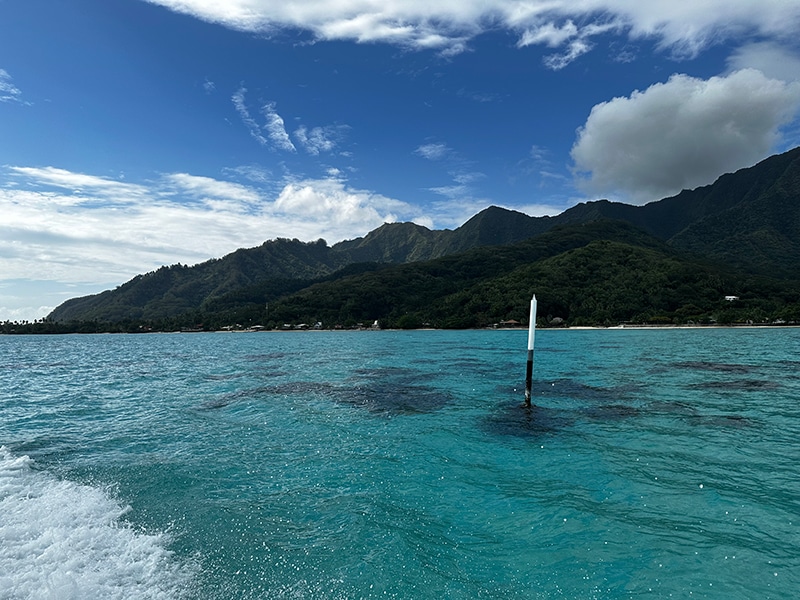
But then we learned a trick by observing some local tour boats on the island of Huahine, which neither the chart briefer nor the flaccid cruising guide revealed: look for sticks or special white/gray/black poles irregularly spaced. The tricky thing about these sticks and poles is that they are marking a super-narrow passage in and around the coral heads, but they don’t form any apparent pattern. Instead, they look like random, plain 3–4-foot sticks marking an otherwise invisible path. The locals know them. You can learn them, too, by watching them fly their boats within literal inches of these markers, and then envision the safe path, which quickly vanishes once their wake settles. Oftentimes, this is the only safe path to traverse a given coral field, unless you’re in a canoe or kayak. Incidentally, the white/gray/black poles must be a French Polynesian thing, because I found them nowhere in the IALA-A charts. These not-so-official ATONs, like the red can buoys, must be kept to the island side of your dinghy, not the seaside. But now you know the hack – except that these sticks and poles are found only in certain areas, not everywhere.
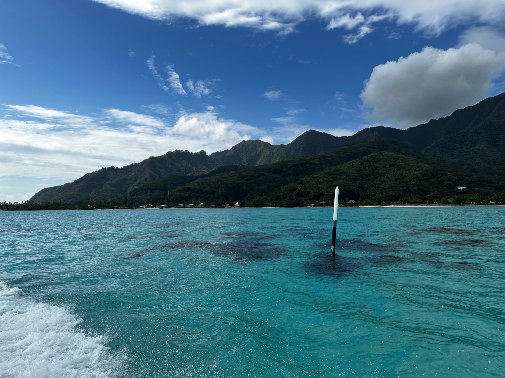
This image below shows a Bora Bora/Mo’orea style white-gray-black ATON marking the navigable passage around coral heads that you’ll find the local whale-tour operators using to navigate around the island. Keep it landward in a powerboat. Exercise extreme caution in a sailboat because of the deep keel.
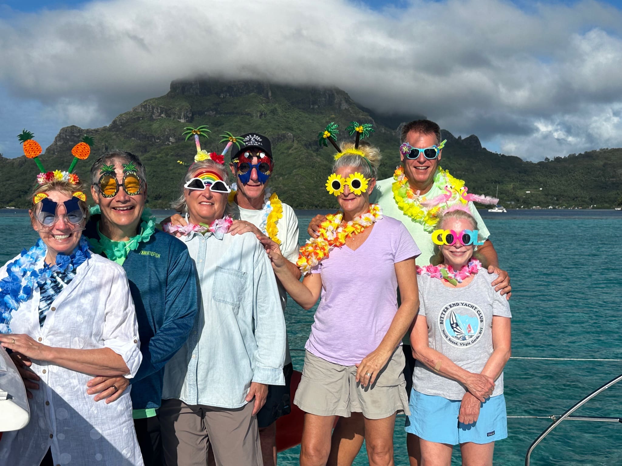
Enjoy our fun picture gallery


