Longitude Mystery
The Mystery of Determining Longitude
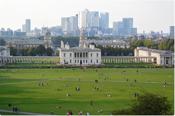
Have you ever been to Greenwich? If you haven’t, make sure it is on your bucket list. Not only is it a delightful place with a spectacular view of London and the Thames River, but it is the real birth place of “Longitude” and home to some of the most amazing master mathematicians of the burgeoning modern times of the 17 and 18oo’s.
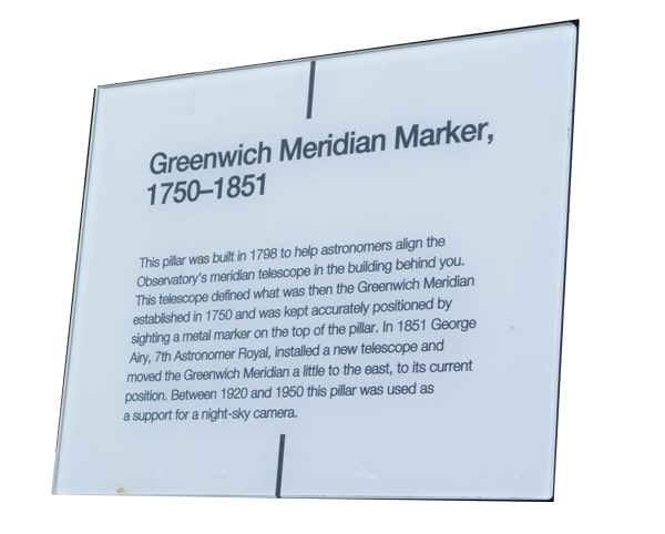
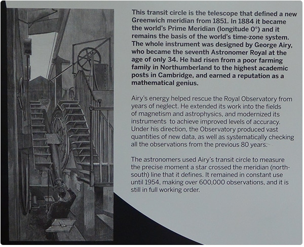
The zero degree line of longitude was selected and placed in Greenwich in 1751 and then later in 1851 it was moved a few feet to align with a new telescope placed at the now zero deg. zero minute, zero second longitude position. This designated line placed on earth is a humankind determined and positioned line. It stretches from the true north pole to the true south pole.
The zero mark could have been placed anywhere on earth. It was placed in Greenwich because of the incredible work being done by the Royal Observatory mathematicians and astronomers. They needed to set a zero point and what better than exactly underneath their telescope The axis of spin of the earth also passes through the north and south poles. This is unlike the zero degree latitude line of the equator. This line is a universally given line and can not by randomly placed by humankind.
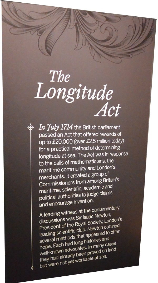
In the 1700’s in bars and cafe’s all over the topic of the times was that determining Longitude on the ocean was akin to perpetual motion – it was seemingly impossible. Yet the challenge was there and £20,000 had been put up as cash incentives to inventors to help solve the issue. £10,000 of which was ordered by the King as prize money to the person who could solve it. Longitude was that illusive!
If you understand that in those days because of ships not knowing exactly where they were, there were many shipwrecks costing lives but also huge amounts of money. Thus global positioning was imperative. Latitude had been pretty easily solved much earlier. If you do a noon shot of the sun to determine its angle above the horizon then compare this with tables of the suns angle on a specific day of the year you get your Latitude. But longitude had no such luxury of determination.
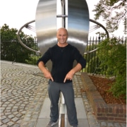
I had the luxury of recently visiting Greenwich and was delighted to see and learn about one of my favorite topics. Longitude. Here I am with one foot in the eastern hemisphere and one in the western hemisphere.
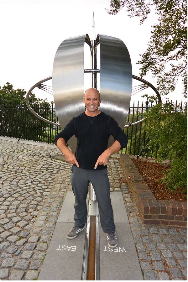
The zero degree Meridian Line in Greenwich
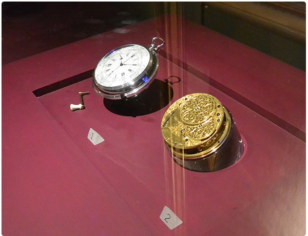
What was particularly awesome about my trip was that the Maritime Museum in Greenwich was displaying a whole history tour of “Longitude” and I was actually able to see the time pieces that John Harrison invented to allow ships to keep time at sea and thus solve the Longitude problem and collect the Kings prize.
Variation aka Declination
We discuss Variation/Declination heavily in our NauticEd Coastal Navigation Course. This is the difference between the charted true north and what will read on your compass due to the earths magnetic poles not aligning with the axis poles. Interesting enough, one means used to determining rough longitude int he old days was to take a measurement of the variation. True North can easily be measured by the north star in the Northern hemisphere and magnetic north by a compass. This difference combined with a variation map of the world allowed approximate longitude determination. The method was rudimentary at best and provided no accuracy.
On that same topic and quite interesting also is that a very accurate global map of variation exists today and is programmed into every magnetic field chip used to determine compass directions. Your smart phone can tell you magnetic North and this is measured by the electronics measuring the earth’s magnetic field. To go from magnetic north to true north, the phone needs to know where on the planet it is. Once this is known (usually via GPS measurement) it applies the known table of variations and can then show also true north.
Here is also a great website resource to see your position on earth but also find your variation.
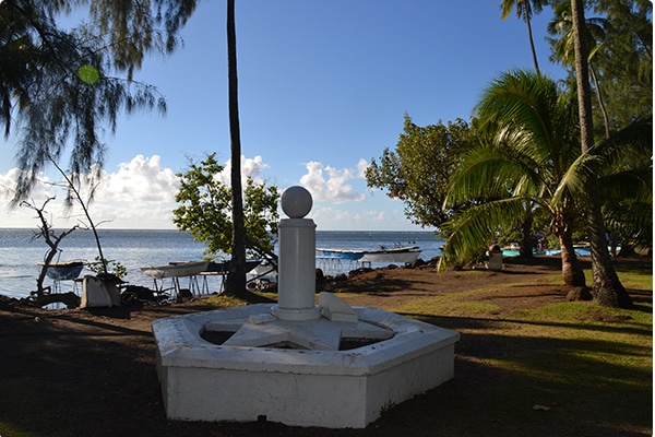
It’s astounding to know that these guys back in the 1700’s knew all this and were the discoverers of this knowledge. Another part of this whole story is bought to life by Cook’s first voyage in 1769 to Tahiti. He was sent there by the Royal Astronomical society to measure the times that Venus was to transit the sun. This was predicted by Haley more than 40 years earlier. By comparing the measurement of times of the transit from many different locations on the planet, the mathematicians of that time were able to calculate the distance to the sun. AND the nailed it within hundredths of a percent.
Here is the picture I took of Cook’s Monument in Tahiti at the place where he measured the transit of Venus across the sun in 1769.
Cook himself used John Harrisons Chronometer (Watch) on his second voyage around the world. Cook’s logbook notes about 6 months into the trip, said that he believed more and more that Harrisons time piece was to be the way of the future.
I really hoped you enjoyed this little trip through the discovery of knowledge that we all use today virtually in our everyday lives. Whether we are aware of it or not, Latitude and Longitude is touching us manytimes every day in our every way.
Grant Headifen
Global Director of Education
P.S – If you are interested in Navigation, take our Coastal Navigation Course
Coastal Navigation Course

